Other Services
We offer standard and custom services. Our portfolio extends beyond Wetlands, Gopher Tortoise, and Resource Protection Area, and Phase 1 assessments. We offer a suite of other environmental and geological services.
Service Focused
 Our work is making human and environmental needs work together. We always discus your project and gather details first. You may have some specific problems, knowledge, or needs. We’ll gather all of those. Then we develop an approach discussing options with you. Finally we construct a plan unique to the project.
All this work is done before any field work begins. We clarify needs. Once we’re working with you, you can choose to have our team engaged all the way through permits and other activity.
Our objective is effective tailored solutions that keep habitats and humans comfortable together.
Our Results
We produce documents and provide markers to delineate found species and boundaries. Our team understands the restrictions associated with being within and adjacent to sensitive ares, and provides guidance. If permitting or other services are required, we can scope or deliver those as well. We ensure that projects or living near sensitive areas are both easy on nature and consistent with legal limits.
Biological Assessment Study
Biological Assessment Study
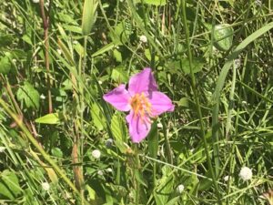
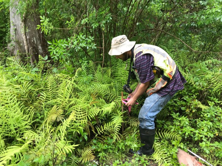
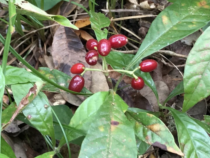
These studies find out which listed species are present on a property. They also documents wetlands, surface waters, or other environmentally sensitive areas. An assessment says if sensitive areas are within or adjacent-to planned or active projects. Usually we do these studies to help plan and guide proposed construction activity.
Studies address potential impacts to those resources in accordance with local laws such as Pasco County Land Development Code (LDC).
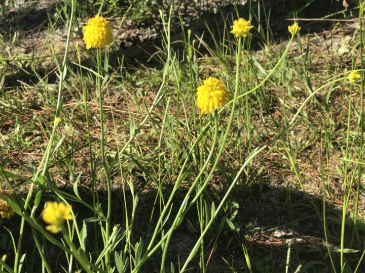
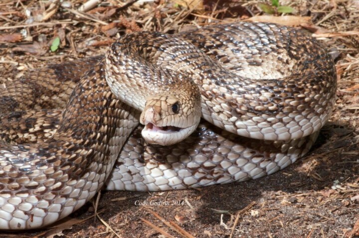
We identify when listed species are present. Those are plants and animals formally listed as Endangered, or Threatened. They can also have Species of Special Concern, or be listed as a commercially exploited plant by government bodies.
The US Fish and Wildlife Service (USWFS) (50 CFR 17.11-12), the Florida Fish and Wildlife Conservation Commission (FFWCC) (Chapter 68A-27 FAC), and the Florida Department of Agriculture and Consumer Services (FCACS) (Section 581 F.S.) define species with special status.
You can see where listed species reside. We deliver results maps and photo documentation for these investigations at the end of our reports.
Land Cover, Geological, and other Mapping services
We provide mapping services to identify species and geological features.
These include:
- Geospatial Information Services (GIS) mapping and analysis
- Aerial Photo interpretation, Imagery analysis, and Historical Aerial Research services
- Sinkhole Assessments
Habitat Protection Plans and Monitoring
When A Biological Assessment Study or Environmental Impact study identifies listed/protected wildlife species, a plan to protect the habitat is useful.
Habitats can continue to host a variety of species even if are near or impacted by construction. A Habitat Protection Plan is a guide to managing lands so that
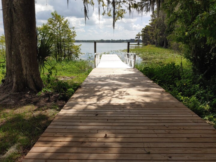
Water Assessments
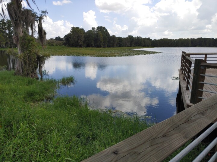
In this environmental service we asses ground, well, and surface waters. Our team frequently samples water to know:
- Dissolve Oxygen,
- Temperature,
- Conductivity,
- Salinity,
- pH, and
- Turbidity.
If needed we collect, document, and label samples for laboratory analysis. This work can be for one-time samples (used to characterize a water body), or as part of a longer term study.
We also create and deliver ground or surface water monitoring programs. We frequently perform these services for:
- Mining,
- Well fields,
- Lakes,
- Estuaries
- or as part of a TMDL program.
Our staff has certified storm water control specialists. They can establish, inspect, and monitor construction projects near waterbodies or sensitive areas.
Working with us
Step One: Identify the Property
You’ll need to zero in on the property address or location, and it is very helpful to provide the ALT KEY. The ALT KEY is a property identifier used by governments. It allows us to know precisely which property you might be discussing and how it is classified in government records. Learn more about finding an ALT KEY on our Important Resources Page.
Step 2: Contact us
Please get in touch with us using the contact page here.